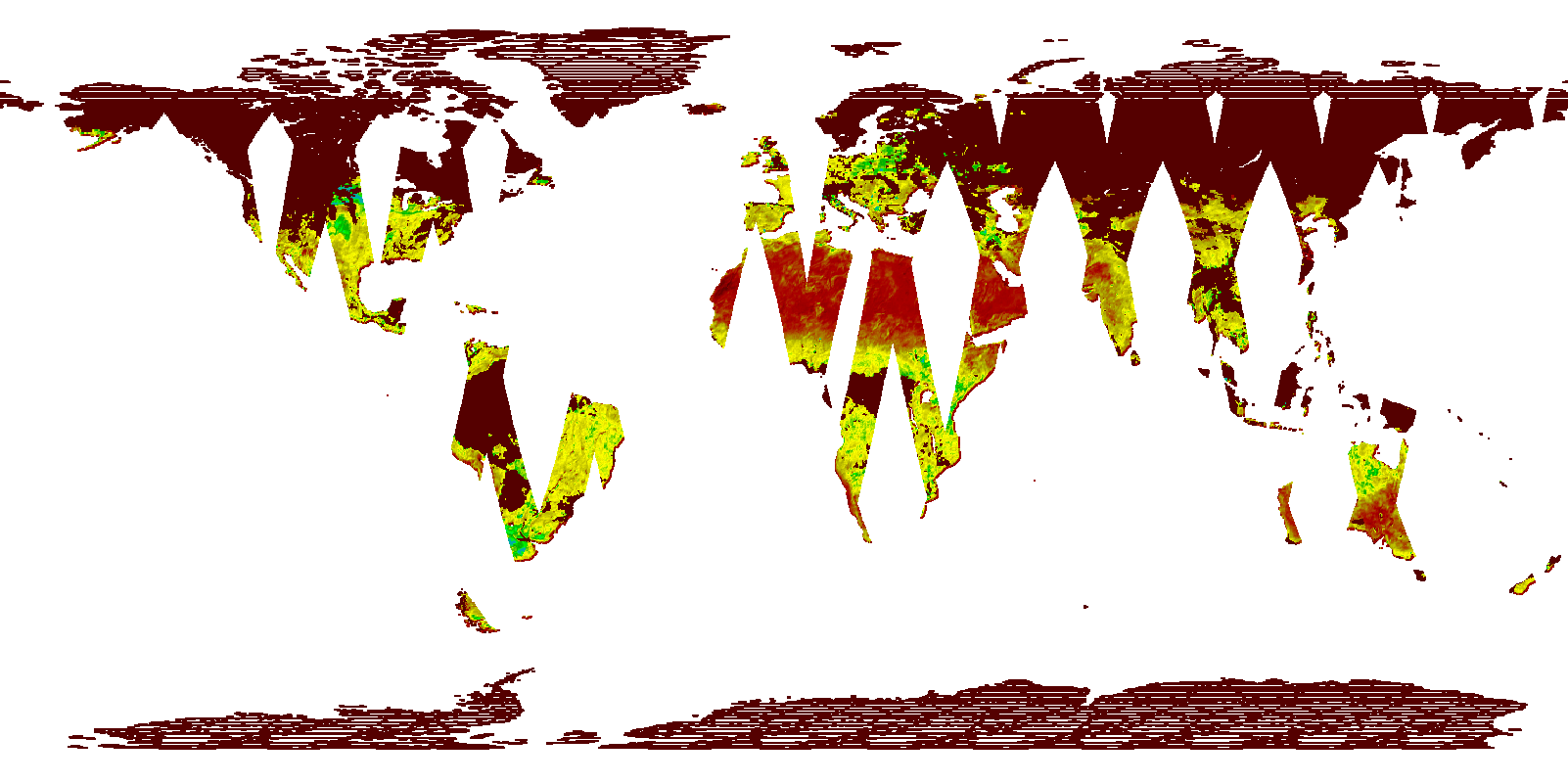
The AMSR Science Investigator-led Processing System (SIPS) at the GHRC DAAC has completed processing of the initial AMSR Level-2 Land product from beginning of the AMSR2 mission to present. This product is generated using the AMSR Unified (AMSR-E and AMSRU) Land algorithms, with Level-1R (resampled) brightness temperatures from the Japan Aerospace Exploration Agency (JAXA) as input. Routine forward processing continues. Data products are delivered from the AMSR SIPS to NSIDC DAAC for archive and distribution. Full resolution imagery are provided to the Global Imagery Browse Services (GIBS).


