HURRICANE SCIENCE
HURRICANE SCIENCE
The GHRC serves as the DAAC for several of NASA’s field campaigns related to the Hurricane Science Research Program. This includes the Convection and Moisture Experiments (CAMEX) series and the Genesis and Rapid Intensification Processes (GRIP) mission. Other campaigns include the Hurricane and Severe Storm Sentinel (HS3) Earth Venture 1 mission targeted to investigate the processes that underlie hurricane intensity change in the Atlantic Ocean basin as well as the East Pacific Origins and Characteristics of Hurricanes (EPOCH) campaign, among others. GHRC is collaborating with the Airborne Data Management Group (ADMG) and anticipates hosting additional, older hurricane science campaigns that have not yet been assigned to a DAAC.
EPOCH
East Pacific Origins and Characteristics of Hurricanes
http://dx.doi.org/10.5067/
EPOCH/DATA101
HS3
Hurricane and Severe Storm Sentinel
http://dx.doi.org/10.5067/
HS3/DATA101
TC4
Tropical Composition, Cloud and Climate Coupling
ACES
Altus Cumulus Electrification Study
http://dx.doi.org/10.5067/
ACES/DATA101
GPM-GV
GPM-GV
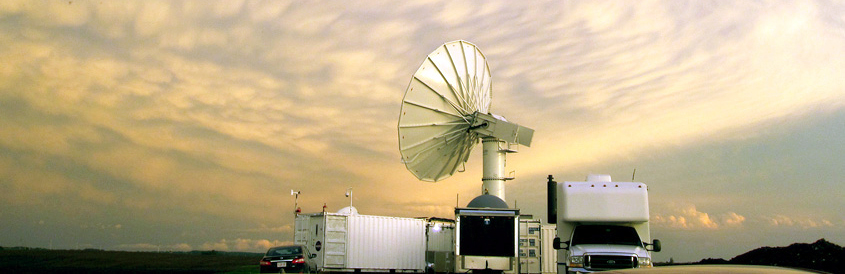
The NASA Global Precipitation Measurement Mission (GPM) Ground Validation (GV) program, as a member of the broader NASA Precipitation Measurement Mission, is providing ground and airborne precipitation datasets supporting physical validation of satellite-based precipitation retrieval algorithms. The GHRC is working with the GPM-GV Science Manager to support these GPM GV physical process studies, which rely on targeted field observations lasting roughly six weeks for intensive observation periods.
ICE_POP
International Collaborative Experiment for PyeongChang Olympic and Paralympics
http://dx.doi.org/10.5067/
GPMGV/ICEPOP/DATA101
OLYMPEX
Hurricane and Severe Storm Sentinel
http://dx.doi.org/10.5067/
GPMGV/OLYMPEX/DATA101
IPHEX
Integrated Precipitation and Hydrology Experiment
http://dx.doi.org/10.5067/
GPMGV/IPHEX/DATA101

IFloodS
Iowa Flood Studies
http://dx.doi.org/10.5067/
GPMGV/IFLOODS/DATA101
MC3E
Mid-latitude Continental Convective Clouds Experiment
https://doi.org/10.5067/
GPMGV/MC3E/DATA101
CONVECTIVE STUDIES
CONVECTIVE STUDIES
The GHRC provides data for field campaigns related to convective studies. These campaigns include CPEX, CPEX-AW, and CPEX-CV, which aim to answer questions about convective storm initiation, organization, growth, and dissipation. In addition, the purpose of HIGHWAY was to deliver regular weather forecasts and severe weather warnings for fishing boats and small transport vessels on Lake Victoria. Lastly, the goal of GOES-R Post Launch Test (PLT) was to provide a collection of coincident airborne, satellite, ground based, and near surface measurements of surface weather phenomena to test, validate, and improve the accuracy of GOES-R Advanced Baseline Imager (ABI) and Geostationary Lightning Mapper (GLM) measurements.
CPEX-CV
Convective Processes Experiment - Cabo Verde
https://ghrc.nsstc.nasa.gov/10.5067/
CPEXCV/DATA101
CPEX-AW
Convective Processes Experiment – Aerosols & Winds
http://dx.doi.org/10.5067/
CPEXAW/DATA101
IMPACTS
Investigation of Microphysics and Precipitation for Atlantic Coast-Threatening Snowstorms
http://dx.doi.org/10.5067/
IMPACTS/DATA101
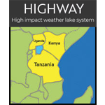
HIGHWAY
Lake Victoria Basin High Impact Weather Lake System (Highway) Project
