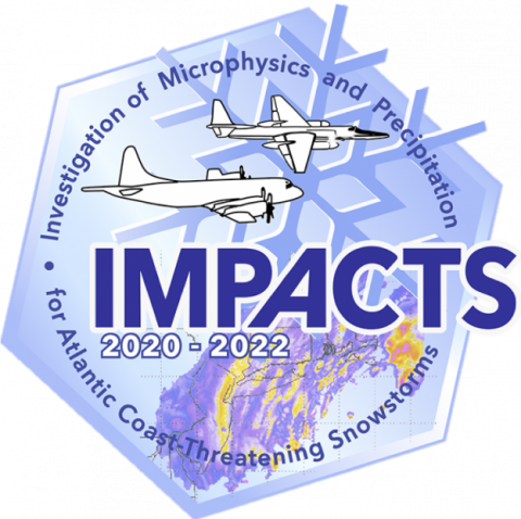
The NASA Global Hydrology Resource Center (GHRC) DAAC published the Cloud Physics LiDAR (CPL) IMPACTS dataset. This dataset consists of backscatter coefficient, lidar depolarization ratio, layer top/base height, layer type, particulate extinction coefficient, ice water content, and layer/cumulative optical depth data collected from the Cloud Physics LiDAR (CPL) onboard the NASA ER-2 high-altitude research aircraft in support of the Investigation of Microphysics and Precipitation for Atlantic Coast-Threatening Snowstorms (IMPACTS) field campaign. IMPACTS was a three-year sequence of winter season deployments conducted to study snowstorms over the U.S Atlantic Coast (2020-2022). The campaign aimed to (1) Provide observations critical to understanding the mechanisms of snowband formation, organization, and evolution; (2) Examine how the microphysical characteristics and likely growth mechanisms of snow particles vary across snowbands; and (3) Improve snowfall remote sensing interpretation and modeling to significantly advance prediction capabilities. The dataset files are available in HDF-5 format from January 15 through March 2, 2020. It should be noted that the ER-2 aircraft did not operate each day of the campaign, therefore, data are only available on flight days.
