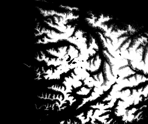
The GHRC published the GPM Ground Validation Airborne Snow Observatory (ASO) OLYMPEX dataset (http://dx.doi.org/10.5067/GPMGV/OLYMPEX/LIDAR/DATA101). This dataset consists of snow depth, bare earth surface, land surface classification and a Red, Green, Blue (RGB) composite image, provided at 3 m spatial resolution during the GPM Ground Validation Olympic Mountains Experiment (OLYMPEX) field campaign held in the Pacific Northwest. These data were collected by a Riegl Q1560 scanning LiDAR and an ITRES CASI-1500 imaging spectrometer, both part of the NASA Airborne Snow Observatory (ASO), during two separate periods, February 8-9, 2016 and March 29-30, 2016. A previous September 2014 flight was used to obtain no-snow measurements used for deriving snow depth. The data are provided in GeoTIFF format.