 The GHRC published the GPM Ground Validation Snow Depth Monitoring System OLYMPEX dataset (http://dx.doi.org/10.5067/GPMGV/OLYMPEX/SNOWTUBE/DATA101).
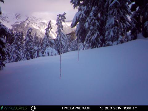
This dataset consists of snow depth, temperature, and relative humidity measurements which were collected using snow depth poles, time lapse cameras, temperature/relative humidity sensors, and manual snow surveys. This dataset was collected during the GPM Ground Validation Olympic Mountain Experiment (OLYMPEX) held on the Olympic Peninsula in the Pacific Northwest of the United States. The analyzed data files are available in netCDF-3 data format. The dataset includes the individual camera photos of snow poles taken hourly during the field campaign, provided as JPG images. There are up to 3 cameras/poles per study site location. In addition, a Microsoft Excel data file contains results of a manual snow survey taken on the specific days of the Airborne Snow Observatory OLYMPEX overflights. In total, measurements contained in this dataset extend from September 5, 2014 through August 20, 2016, but the primary field campaign data were collected during the fall 2015 to spring 2016 time period.
Sample image taken by the team on Mt. Hopper
