The NASA Global Hydrology Resource Center (GHRC) DAAC published the GPM Ground Validation Global Satellite Mapping of Precipitation (GSMaP) IFloodS dataset (http://dx.doi.org/10.5067/GPMGV/IFLOODS/TMI/DATA201).
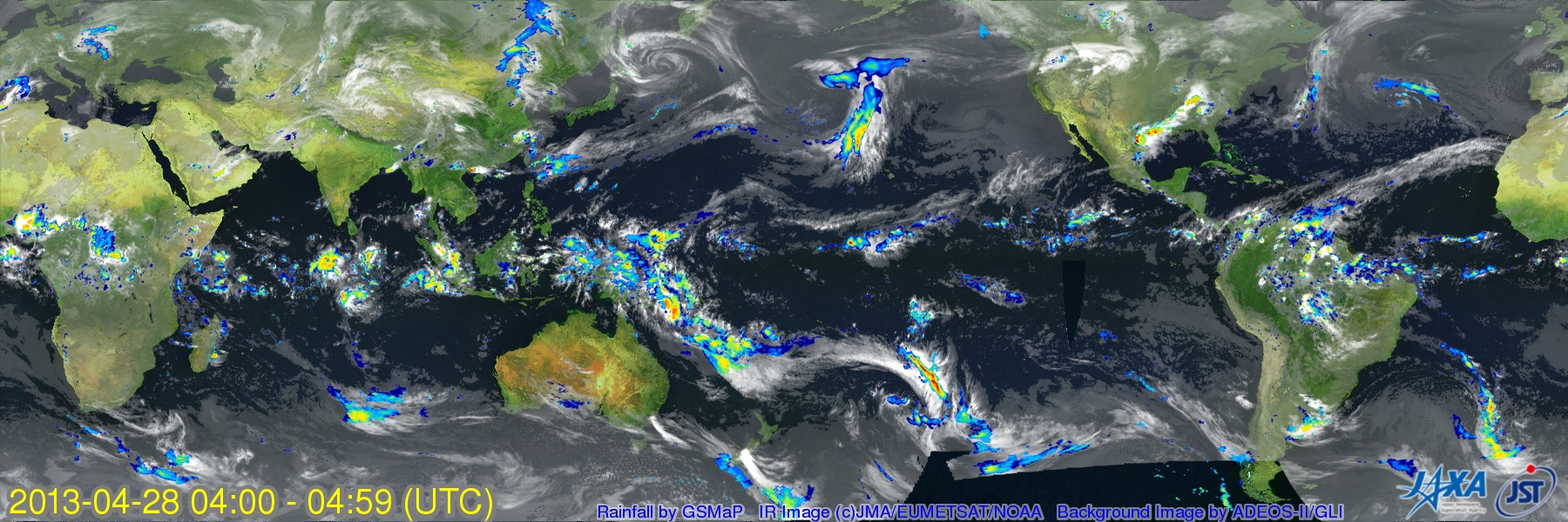
This dataset consists of rainfall rate estimates from the GSMaP project. The GSMaP global rain rate maps are derived by a collection of algorithms that utilize microwave (MW) radiometer data and geostationary Infrared (IR) data. The GSMaP Precipitation data product is provided on a 0.1 degree spatial resolution every hour and was made available for use during the Global Precipitation Measurement (GPM) Ground Validation Iowa Flood Studies (IFloodS) field campaign. These data are available in netCDF-4 and binary formats from April 22, 2013 through June 30, 2013. The near real-time GSMaP data can be obtained from the JAXA GSMaP web page.
