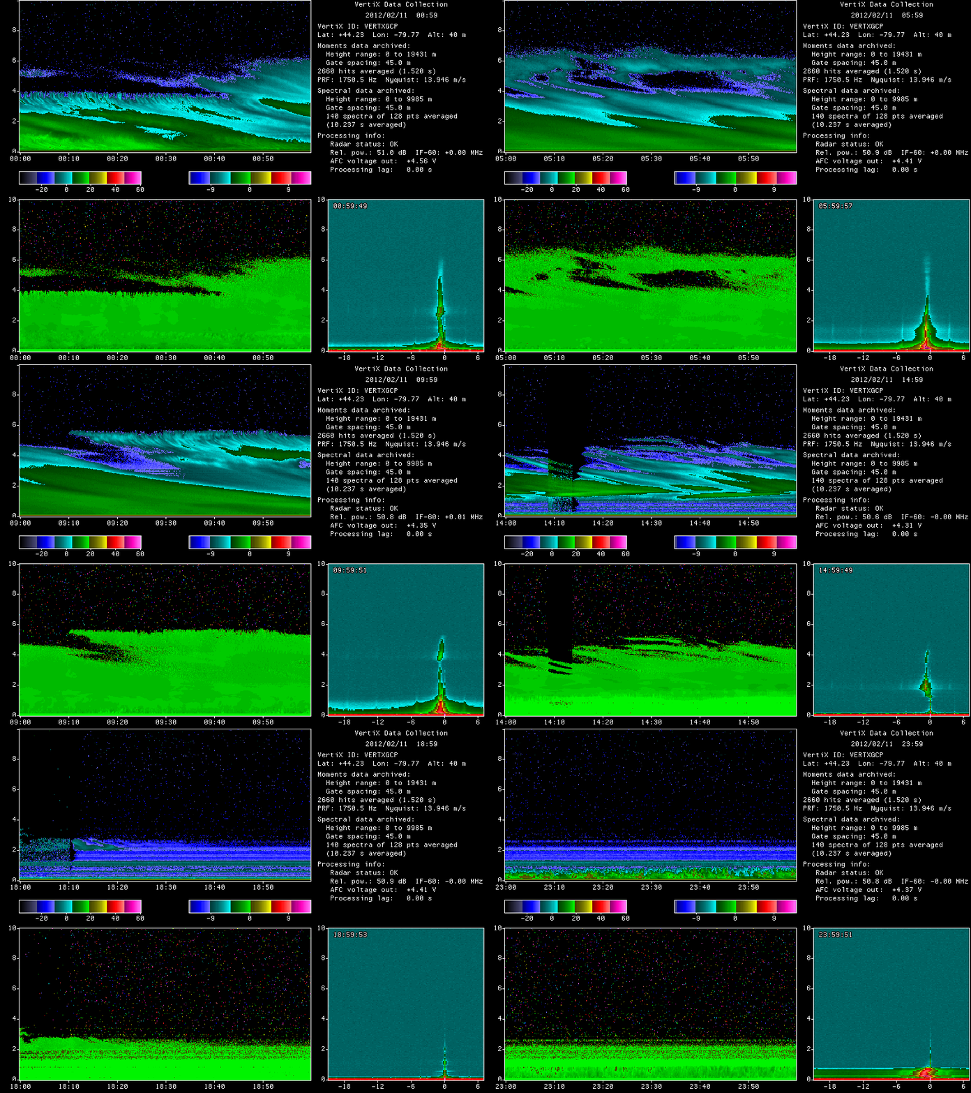
The NASA Global Hydrology Resource Center (GHRC) DAAC updated the GPM Ground Validation McGill Vertical Pointing X-Band (VertiX) Radar GCPEx dataset by adding GIF imagery. This dataset consists of radar reflectivity and Doppler velocity data collected by the Vertically Pointing X-band (VertiX) radar during the Global Precipitation Measurement (GPM) mission Cold-season Precipitation Experiment (GCPEx) field campaign in Ontario, Canada during the 2011-2012 winter season. VertiX can detect all precipitation targets and some ice clouds, as well as measure the Doppler velocity of precipitation targets. These measurements contributed to the overarching goal of GCPEx to collect various snowfall data for the improvement of GPM satellite winter precipitation estimates. These data files are available from January 15 through February 29, 2012 in netCDF-3 format with browse imagery available in GIF format. It should be noted that for dates that have 2 netCDF-3 files, there is a gap in the data recording time between the end of the "*.nc" file and the beginning of the "*_1.nc" file.


