
Afternoon Update, May 11
A line of thunderstorms was ongoing in the Texas Panhandle this morning.
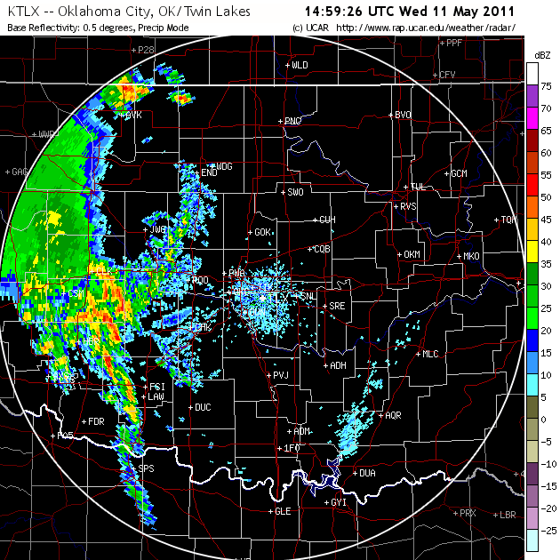
These continued east into Oklahoma and grew in areal coverage. This system was not resolved by any of the models. They moved east slowly through the day, and developed into a line. NPOL reported pea-sized hail. Purcell and the Central Facility launched the 1730 UTC soundings early in order to get them up ahead of the storms
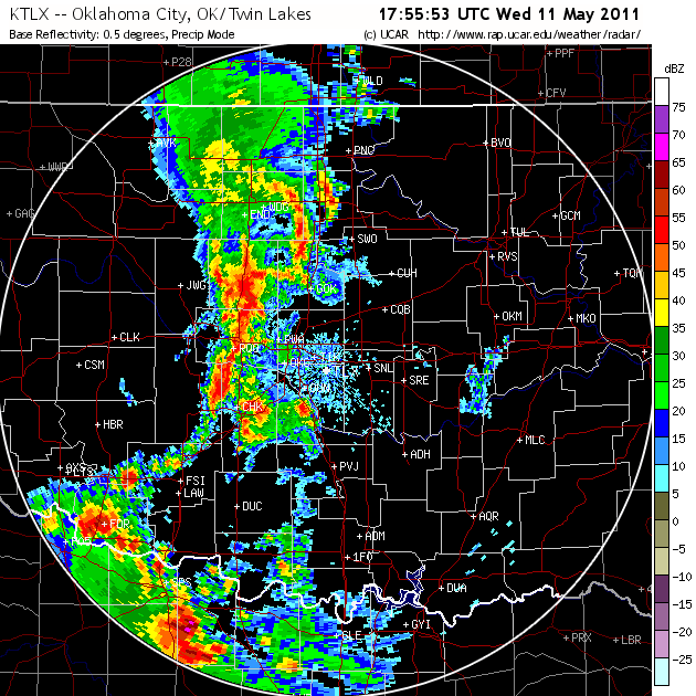
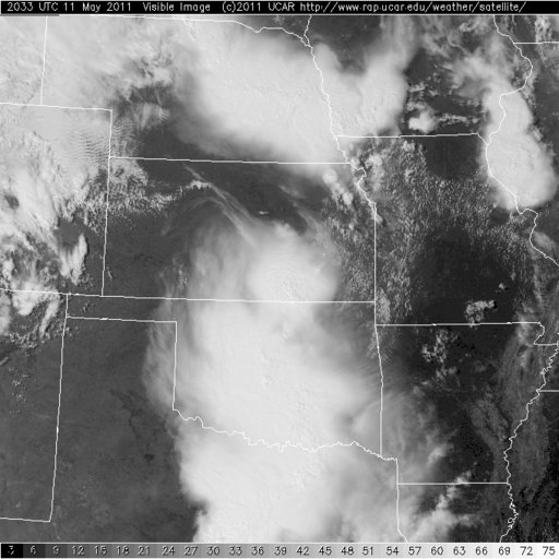
The cloud shield produced by this system covers most of the state and should inhibit the development of new convection behind the line. The severe threat for the rest of the day lies to the east and south of the Central Facility.
The 18Z NAM shows that by midday tomorrow the front will have moved across the western half of Oklahoma, inhibiting precipitation over the Central Facility. Thunderstorms will likely develop later in the afternoon in the eastern half of the state. The NAM also shows showers remaining over Colorado through 00 UTC on Friday and tapering off during the afternoon. These showers may end around midday.
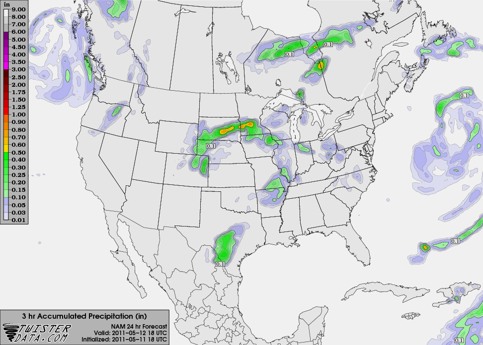
On Friday morning, light wrap around precipitation may occur in Kansas, but precipitation looks unlikely at the Central Facility.
