
Afternoon Update, May 17
Precipitation is expected in the general vicinity of the central facility between 06-12 UTC Wednesday. Models differ on the coverage and exact timing.
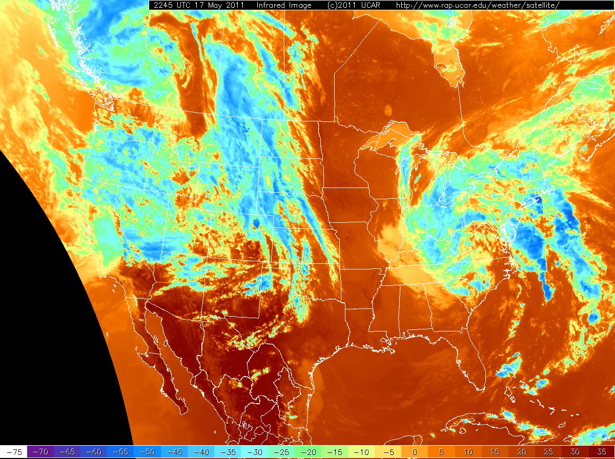
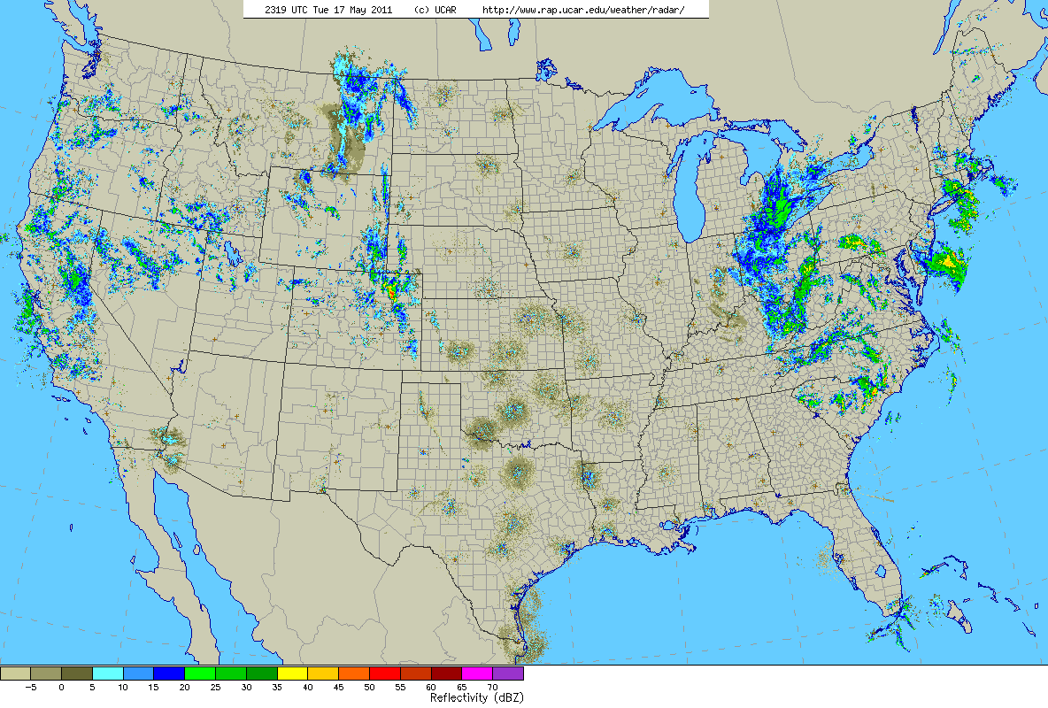
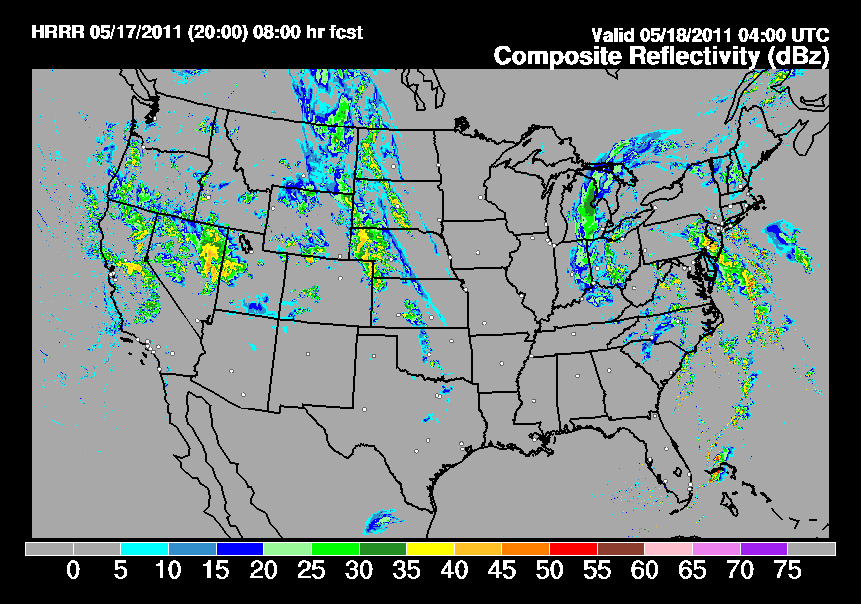
Current satellite and radar imagery shows convection in Colorado and Texas as forecast by the models.
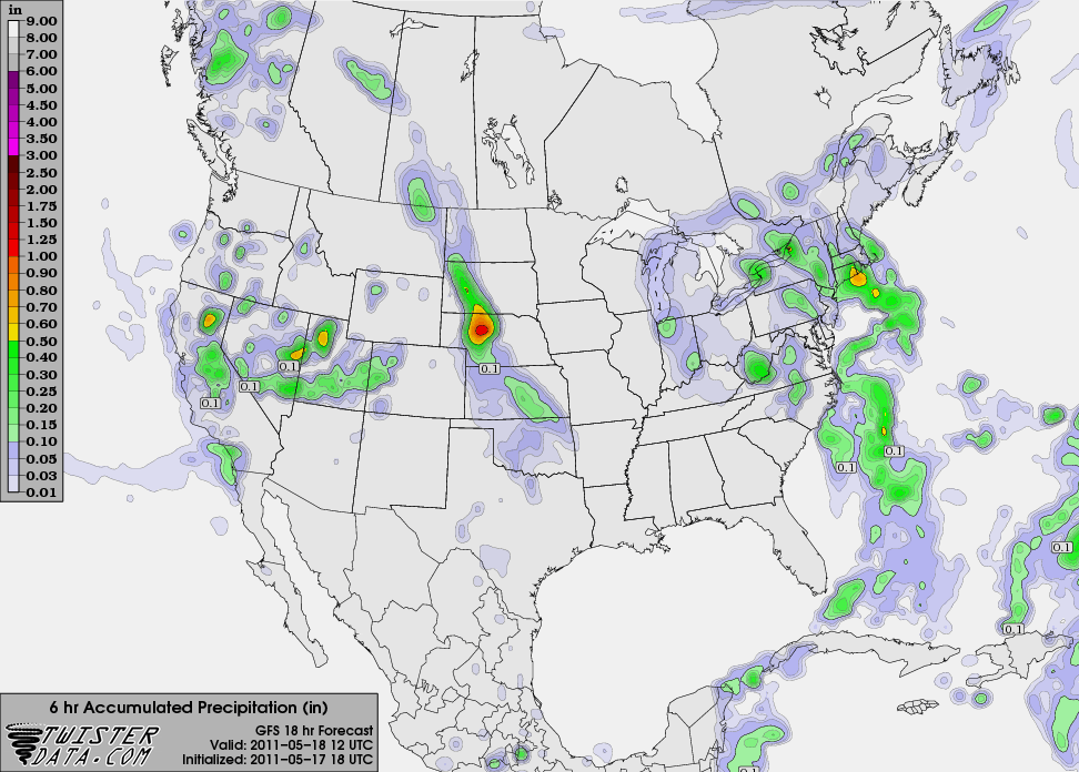
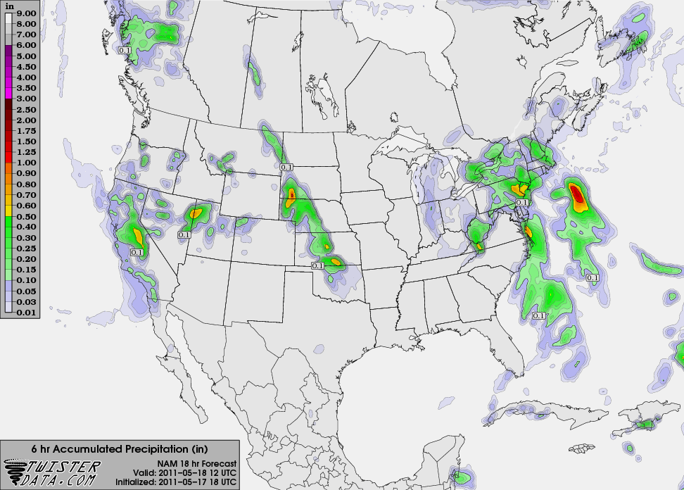
GFS generally shows more widespread precipitation with lower totals than NAM.
Higher resolution models differ slightly in terms of timing- the HRRR has convection moving across the area closer to 04 UTC, while the NSSL WRF shows developing convection over the central facility later in the evening.

The latest OUN discussion mentions the likelihood of showers and thunderstorms in northern Oklahoma:
MORE SIGNIFICANT COVERAGE OF
RAIN AND THUNDER SHOULD OCCUR LATE TONIGHT AS A LOW LEVEL JET AND
DEEPER GULF MOISTURE RUN OUT FROM BENEATH A DEVELOPING CAP. THE EDGE
OF THE CAP SHOULD SET UP FROM ABOUT ALVA DOWN TO OKLAHOMA CITY...
WITH BETTER RAIN CHANCES EAST OF THAT LINE.
All models show widespread precipitation in Kansas and Nebraska.
