Afternoon Update
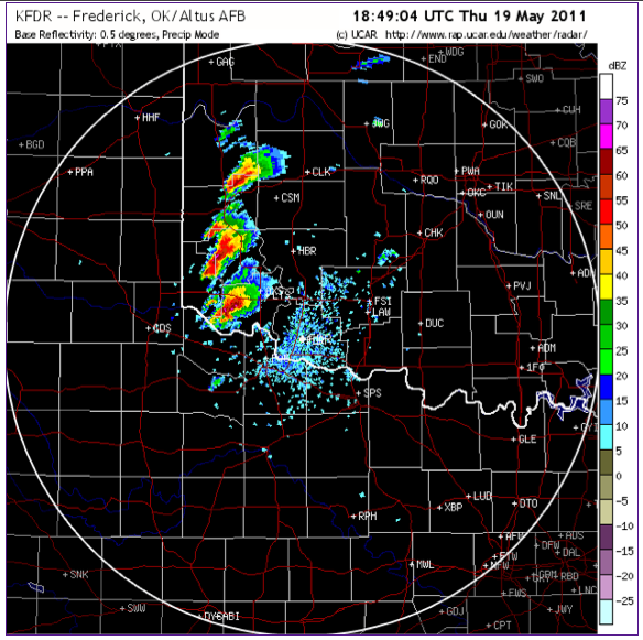
Supercells fired along the dry line by the SW Oklahoma/Northern Texas border early this afternoon and were expected to continue to fire and propagate through W Oklahoma and Kansas through the evening.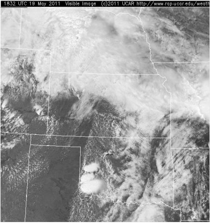
The upper level trough over the western US is expected to approach the Great Plains region overnight and into the early morning. The lower level jet associated with it is then expected to straighten meridionally and strengthen as the morning progresses.
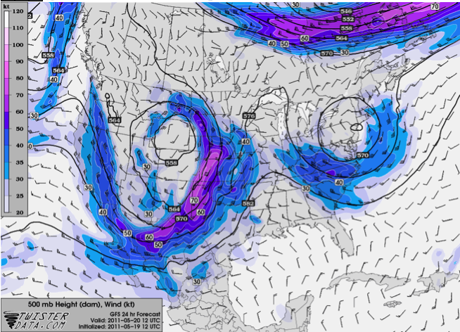
Precipitation, high moisture, and strong southerly winds are forecasted at the eastern edge of the approaching jet.
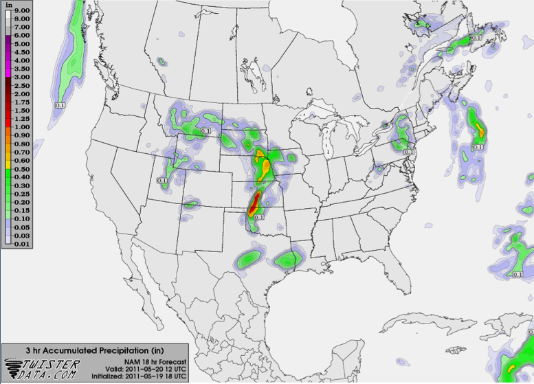
The 18 UTC (May 19) NAM runs show precipitation over the Central Facility as early as 12 UTC Friday morning. The models, however, have had drastic changes with each subsequent run, especially with regard to the timing of the jet's arrival into the region, as well as the timing of heavy precipitation over Offutt.