Kaylin Bugbee of the Global Hydrology Resource Center’s data management team attended a meeting of the International Standards Organization (ISO) Technical Committee (TC) 211 held in Southampton, United Kingdom, June 8-12. TC 211 is concerned with geographic information and geomatics. Ms. Bugbee represented IEEE’s Geoscience and Remote Sensing Society (GRSS) at the WG-6 (working group on imagery) sessions.
GHRC News
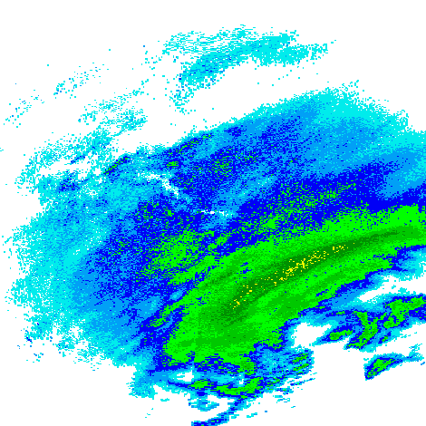 The Global Hydrology Resource Center (GHRC) has published seven ground-based radar datasets in the Global Precipitation Measurement (GPM) mission Ground Validation (GV) collection for the GPM Cold-season Precipitation Experiment (GCPEx) which occurred in Ontario, Canada. These data were collected from seven radar stations between January 9, 2012 and March 12, 2012. The National Weather Service’s Next Generation Weather Radar system (NEXRAD) comprises 159 Weather Surveillance Radar-1988 Doppler (WSR-88D) sites throughout the United States and select overseas locations. The GPM Ground Validation NEXRAD GCPEx data files are available as level 2 binary files and level 3 compressed binary files.
GPM Ground Validation KAPX NEXRAD GCPEx
GPM Ground Validation KBOX NEXRAD GCPEx
GPM Ground Validation KBUF NEXRAD GCPEx
GPM Ground Validation KCBW NEXRAD GCPEx
GPM Ground Validation KCXX NEXRAD GCPEx
Global Hydrology Resource Center (GHRC) staff members attended a Kayako training webinar on June 5. Kayako is the user help-desk software provided to the DAACs by ESDIS. Training covered basic Kayako ticket scenarios, the various features of the Kayako menu tabs, and tagging for metrics and reports. GHRC has been sending user issues and questions through the Kayako system since October 2014 and plans to add the “Feedback” button to its web site in the coming months.
Manil Maskey and Ken Keiser represented the Global Hydrology Resource Center (GHRC) and presented a poster at the NSF EarthCube annual All Hands Meeting on May 27-29 in Arlington, VA. The GHRC is a charter member of the EarthCube Council of Data Facilities, and is represented in several of the other relevant EarthCube committees and working groups.
The poster can be viewed at https://www.itsc.uah.edu/main/posters/chords-deployed-standards-based-architecture-enabling-re-use-real-time-data-earthcube-2015
GHRC has published its first HS3 dataset, Hurricane and Severe Storm Sentinel (HS3) Global Hawk High Altitude MMIC Sounding Radiometer (HAMSR). This dataset contains measurements gathered by the HAMSR instrument during the HS3 campaigns during the hurricane seasons of 2012 and 2013 in the Atlantic Ocean basin region. HAMSR has 25 spectral channels in 3 bands (50-60 Ghz, 118 Ghz, 183 Ghz), and it provides measurements that can be used to infer the 3D distribution of temperature, water vapor, and cloud liquid water in the atmosphere, even in the presence of clouds. HAMSR is mounted in payload zone 3 near the nose of the Global Hawk NASA aircraft. Data is available in netCDF/CF format.
