|
Real Time Mission Monitor
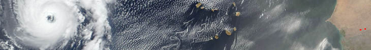
NAMMA used the Real Time Mission Monitor (RTMM) to integrate satellite and radar imagery, model output data, lightning location observations, aircraft navigation data, overlays (e.g., dropsonde analyses), and other data sets into a user-friendly visualization display (Google Earth). NAMMA provided, for the first time, a local RTMM capability on the DC-8 aircraft itself during the flights. This enabled on-board scientists and air crew personnel to have access to in-flight imagery and data sets that were unavailable during prior campaigns.
RTMM has since been retired. However, this animation from September 12, 2016 provides a visual record of the flight.
|
|
| RTMM Animation from September 12, 2006 | |
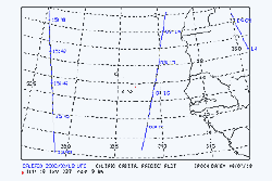
| CALIPSO Overpass Information | |
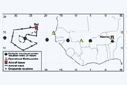
| DC-8 Flight Plan (MS Word) | |
|
Priority Missions (MS Word)
|
|
|
|
|
|
|
|