GHRC News

Sample browse image

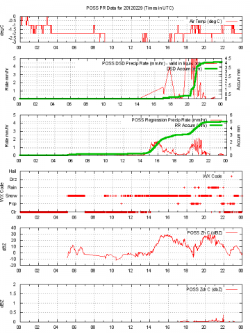
GHRC has published the GPM Ground Validation Environment Canada (EC) Precipitation Occurrence Sensor System (POSS) GCPEx dataset. Data was gathered during the GPM Cold-season Precipitation Experiment which took place in Ontario, Canada, January 15 - March 1, 2012. The POSS is a bi-static X-band Doppler radar designed by Environment Canada. The POSS measures a signal whose frequency is proportional to the particle Doppler velocity and whose amplitude is proportional to the particle scattering cross-section. Its measurements can be used provide information regarding precipitation occurrence, type, rate, and raindrop size distribution.


Image taken from the belly cam on the Global Hawk

The NASA Earth Venture 1 mission Hurricane and Severe Storm Sentinel (HS3) is ramping up for the 2013 hurricane season. Investigators are using two unmanned Global Hawk aircraft to monitor Atlantic tropical storms. The data collected by HS3 will be archived at and distributed by GHRC.

GCPEX

GHRC published the GPM Ground Validation Environment Canada (EC) Vaisala Ceilometer GCPEx dataset.  Environment Canada (EC) collected ceilometer data during the GPM Cold-season Precipitation Experiment (GCPEx) in Huronia, Canada from January 15, 2012 through March 1, 2012. The CT25K ceilometer uses pulsed diode laser LIDAR technology to derive backscatter profiles, cloud heights and vertical visibilities. It is also able to detect 3 cloud layers simultaneously.


GCPEX logo

GHRC published the GPM Ground Validation Pluvio Precipitation Gauge GCPEx  and GPM Ground Validation DC-8 Navigation and Housekeeping Data GCPEX guides from the GPM Cold-season Precipitation Experiment (GCPEx). The Pluvio rain gauge dataset collection contains both one minute measurement and a cumulative record of the accumulation and intensity for liquid, solid, and mixed precipitation. The DC-8 Navigation files are provided the National Suborbital Education and Research Center (NSERC) at the University of North Dakota (UND) has geo-located housekeeping data containing the altitude, pressure, air speed, wind speed and other attributes in the ICARTT format. The DC-8 Navigation dataset also contains navigation information retrieved from the Real-Time Mission Monitor (RTMM) collected and utilized in-flight during the mission in a comma delimited IWG1 format.


GPM Constellation

GHRC published two similar datasets associated with the Global Precipitation Measurement (GPM) Ground Validation program: GPM Ground Validation Composite Satellite Overpasses MC3E and GPM Ground Validation Composite Satellite Overpasses GCPEX. Each of these datasets provide data from satellite overpasses of the study region for the mission Midlatitude Continental Convective Clouds Experiment (MC3E), Oklahoma 2011, or the GPM Cold-season Precipitation Experiment (GCPEx), Canada 2012. The radiometric data was matched up with other datasets necessary to carry out land surface emissivity studies. These other datasets include the NEXRAD NMQ radar mosaic for knowledge of rain structure and intensity at the time of the overpass, as well as the previous accumulated precipitation prior to the satellite overpass time), the NOAA IMS snow mapping system (to identify surface snow or ice cover), and the NASA/GMAO MERRA land and atmospheric reanalysis (for background land and atmospheric state needed for microwave radiative transfer calculations). The AQUA satellite overpasses were used for MC3E and SSMIS for GCPEX, passing within 700-km of the central field site.


Have you used our data? Register for updates