GHRC News

Deployed Wireless Sensor for Monitoring Landslide Conditions
Researchers Testing Solar Panels Powering Wireless Sensors
Example Landslide Model Warning Output

Dr. Udaysankar Nair of the University of Alabama in Huntsville (UAH) recently took results from his research involving monitoring and prediction of landslides on the road to India, explaining the possible application of the technology to high-risk regions in that country. Dr. Nair is an Associate Professor in the UAH Atmospheric Science Department, lead on a UAH-funded research initiative, and co-investigator of a GHRC-based NASA Applied Science project which uses the GHRC's event-driven data delivery (ED3) framework to trigger Earth science data retrieval and/or model runs based on a user's preparedness plans. While intense and/or sustained rainfall is often the primary trigger for landslides, soil type and slope are also important factors in determining the location and timing of slope failure. In a collaboration among UAH, the Universities Space Research Association (USRA) and NASA's SERVIR program, Dr. Nair's team has developed and installed a wireless sensor network (WSN) equipped with accelerometer, rainfall and soil moisture sensors that is being integrated into an end-to-end landslide warning system. The WSN is being tested to ascertain communication capabilities and the density of nodes required depending upon the nature of terrain and land cover. The system includes a water table model that provides a deterministic assessment of slope stability by evaluating horizontal and vertical transport of underground water and associated weight bearing capacity. The proposed end-to-end system has the potential for generating warnings which can trigger ED3 framework to assemble relevant data and model runs for delivery to decision makers in the affected regions. Below are a couple of articles highlighting the research with respect to application in India.

http://www.thehindu.com/news/national/kerala/sensorbased-landslip-prediction-system-for-idukki/article5004915.ece

http://apnaindia.com/news/kerala-biodiversity-board-plans-climate-change-study-121140.html

IFloodS logo

The initial phase of the Iowa Flood Studies field campaign has begun.  IFloodS is the first of several hydrology-oriented field efforts that the GPM Ground Validation (GV) program is conducting.   GHRC is providing a collaboration portal for the field campaign team to exchange data and information including instrument status, mission science reports, weather forecasts and preliminary science data.  We have already begun collecting instrument data and model output for the region.  More instruments will come online throughout April in preparation for the official start of the campaign on May 1.  During the field campaign, access to the collaboration portal  and quicklook data is restricted to team members.  We expect to begin receiving and publishing quality controlled data products from the mission in approximately six months.

GCPEX logo

GHRC has released the GPM Ground Validation Meteorological Tower Environment Canada GCPEx dataset as part of the GPM Cold-season Precipitation Experiment (GCPEx) where data was gathered over the Ontario region of Canada in 2012 from Jan 15 through March 1. This dataset provides temperature, relative humidity, 10m winds, pressure and solar radiation data collected by a suite of standard meteorological instruments attached to a 10m met tower. The observation station was assembled by Automated Transportable Meteorological Observation Station (ATMOS). Browse images are available on-line.


CODATA

Dr. Sara Graves represented the GHRC at the International Council for Science : Committee on Data for Science and Technology (CODATA) Executive Committee meeting in Paris the week of April 14th as the Secretary General of CODATA. There were discussions with Dr. Steven Wilson, Executive Director of The International Council for Science (ICSU), about Future Earth and the data aspects of that large 10 year program. She also met with some representatives from the World Data System on collaborations on Future Earth and several other activities. Lastly, a presentation titled ‘Using GLIDER for Data Intensive Science’ by Sara Graves, Todd Berendes and Rahul Ramachandran was made at the European Geosciences Union (EGU) General Assembly in Vienna, Austria on April 8th, 2013.

DCI badge

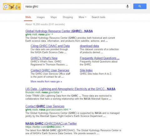
The Global Hydrology Resource Center (GHRC) DAAC and data are now registered in Thomson Reuters’ Data Citation Index.  The Data Citation Index (DCI) is part of Thomson Reuters’ Web of Knowledge, a multi-disciplinary index of science research publications.  The goal of the DCI is to support search and discovery of scientific research data and links to the published literature with appropriate citation metrics.  DCI, like the Web of Knowledge in general, is a resource that institutions subscribe to, and is available to those affiliated with subscribing institutions.

Have you used our data? Register for updates