![]()
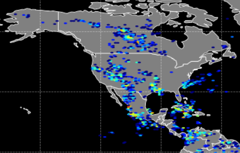
The NASA Global Hydrology Resource Center (GHRC) DAAC published 5 of the 31 NEXRAD IMPACTS Datasets. These datasets consist of Next Generation Weather Radar (NEXRAD) Level II surveillance data that were collected at 31 NEXRAD sites from January 1 to March 1, 2020 during the Investigation of Microphysics and Precipitation for Atlantic Coast-Threatening Snowstorms (IMPACTS) field campaign. IMPACTS was a three-year sequence of winter season deployments conducted to study snowstorms over the U.S Atlantic Coast. The campaign aimed to (1) Provide observations critical to understanding the mechanisms of snowband formation, organization, and evolution; (2) Examine how the microphysical characteristics and likely growth mechanisms of snow particles vary across snowbands; and (3) Improve snowfall remote sensing interpretation and modeling to significantly advance prediction capabilities. There are currently 160 Weather Surveillance Radar-1988 Doppler (WSR-88D) or NEXRAD sites throughout the United States and abroad. These Level II datasets contain meteorological and dual-polarization base data quantities including: radar reflectivity, radial velocity, spectrum width, differential reflectivity, differential phase, and cross correlation ratio. The IMPACTS NEXRAD Level II data files are available in netCDF-4 format. It should be noted that this dataset will be updated in subsequent years of the IMPACTS campaign. Below are the 5 NEXRAD IMPACTS Datasets published:
KAKQ NEXRAD IMPACTS
http://dx.doi.org/10.5067/IMPACTS/NEXRAD/DATA101
http://dx.doi.org/10.5067/IMPACTS/NEXRAD/DATA101
KBGM NEXRAD IMPACTS
http://dx.doi.org/10.5067/IMPACTS/NEXRAD/DATA102
http://dx.doi.org/10.5067/IMPACTS/NEXRAD/DATA102
KBOX NEXRAD IMPACTS
http://dx.doi.org/10.5067/IMPACTS/NEXRAD/DATA103
http://dx.doi.org/10.5067/IMPACTS/NEXRAD/DATA103
KCCX NEXRAD IMPACTS
http://dx.doi.org/10.5067/IMPACTS/NEXRAD/DATA105
http://dx.doi.org/10.5067/IMPACTS/NEXRAD/DATA105
 The NASA Global Hydrology Resource Center (GHRC) DAAC has published the data recipe titled OTD Lightning Flash Location Quickview using Python 3.0 and GIS. This data recipe enables the visualization of lightning flash locations across user-selected Optical Transient Detector (OTD) swath data files. The Python code can plot the data directly, or create a CSV file for use with other software, such as ESRI ArcMap. The process can now be executed using Python 3.0. The new data recipe is available at:
  The NASA Global Hydrology Resource Center (GHRC) DAAC added more data files to the GPM Ground Validation Validation Network (VN) dataset. This dataset contains reflectivity, hydrometeor identification, rain rate, correlation coefficient, and quality control variables and estimates. This data product was created using the Validation Network (VN), which performs a direct match-up of the Global Precipitation Mission (GPM)’s space-based Dual-frequency Precipitation Radar (DPR) and Microwave Imager (GMI) data with ground radar data from NOAA Weather Surveillance Radar-1988 Doppler (WSR-88D) radars. These data are available from March 10, 2014 through April 16, 2020 in netCDF-3 format, though it should be noted that this dataset will be updated periodically.