 The GHRC DAAC has published dataset revisions for two merged satellite products from the DISCOVER MEaSUREs project:
RSS Monthly 1-deg Merged Wind Climatology netCDF V7R01
RSS Monthly 1-deg Microwave Total Precipitable Water netCDF V7R01
These data sets contain one-degree grids of monthly means, a 20-year climatology file, and a trend file containing the cumulative global trend map on a one degree grid and the time-latitude plot. They...

 The Global Hydrology Resource Center (GHRC) DAAC published NASA Global Precipitation Measurement Mission Ground Validation model datasets from two GPM GV field campaigns:
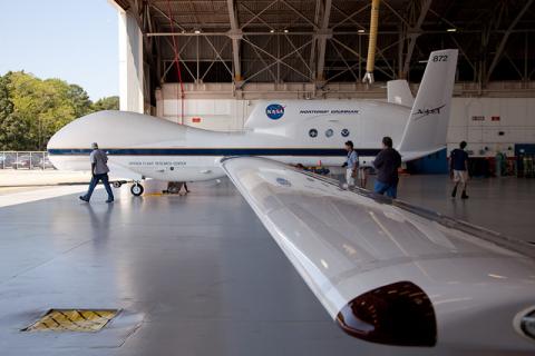 GHRC DAAC published the
 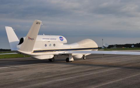 The Global Hydrology Resource Center (GHRC) DAAC has published two additional datasets from the Hurricane and Severe Storm Sentinel (HS3) mission.
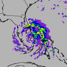 The AMSR-E Science Investigator-led Processing System (SIPS) at the GHRC DAAC completed full mission reprocessing of the AMSR-E Level-2 Rain data, browse, and GIBS imagery on January 22, 2016. The new version 3 dataset is available to users from the NSIDC DAAC.