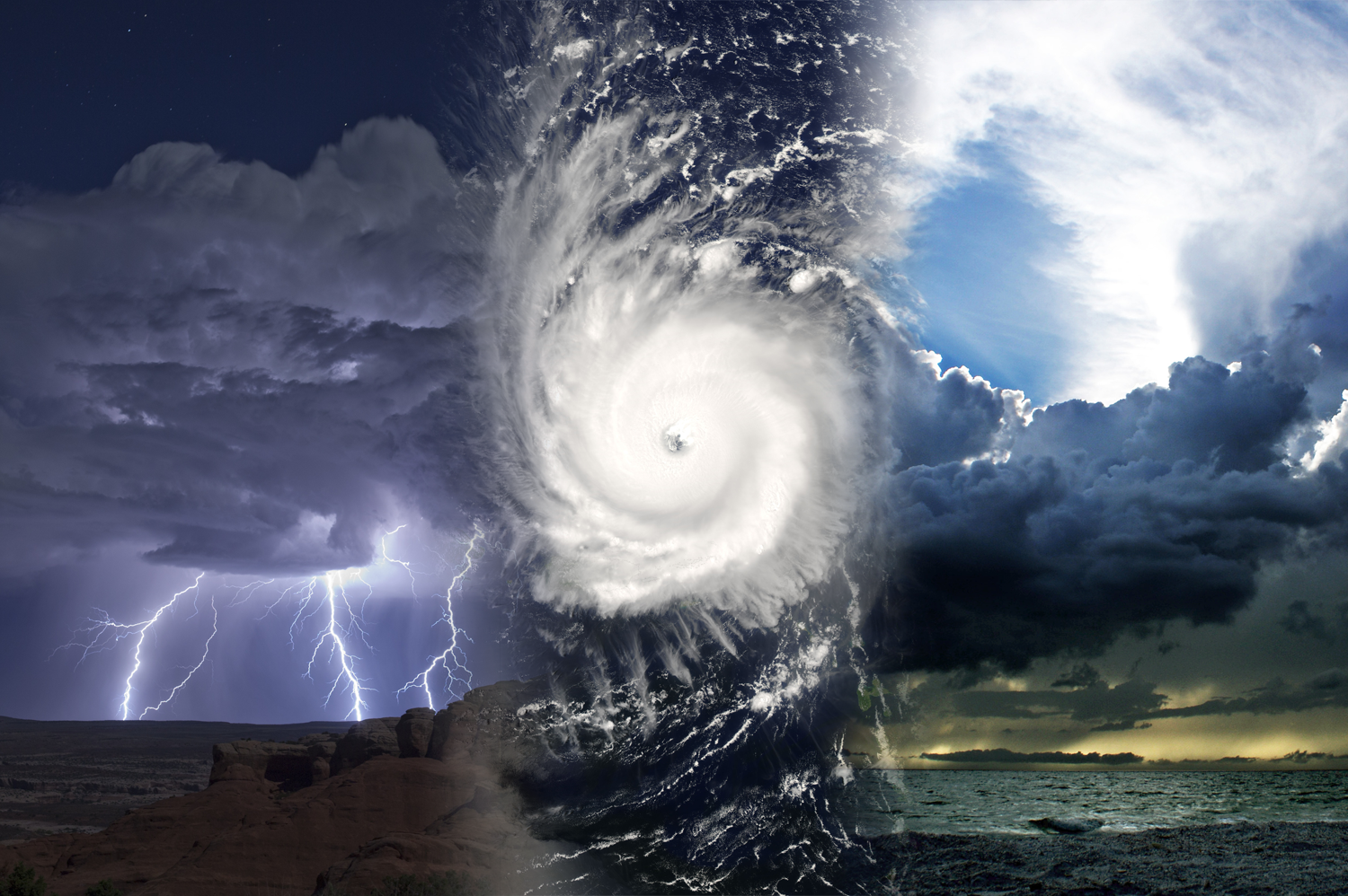
California has been hit by multiple atmospheric river events over the 2016-2017 winter season. Atmospheric rivers are long, narrow bands of high water vapor that transport moisture from tropical regions into the mid-latitudes. The atmospheric rivers bring 50% or more of the annual precipitation to California and often lead to hazards, such as flooding and mudslides. The events of January and February 2017 resulted in year-to-date precipitation totals greater than 150 - 200% above normal for many Northern California locations. The latest map from the U.S. Drought Monitor and NOAA shows Northern California is no longer under drought conditions, while Southern California drought status has improved from severe status to moderate.
 Reservoirs, which supply essential water during the dry-season, have filled to capacity due to the excess rain. Lake Oroville, in Northern California, experienced weeks of heavy rain and runoff into the reservoir. To prevent dam overtopping, the spillway was activated on February 10, 2017. While releasing water, the spillway developed a hole almost the size of a football field that continued to expand with use. The damaged spillway was subsequently closed, but rising lake levels resulted in water release over an emergency spillway that caused excessive hillside damage. The headward erosion of the hillside toward the emergency spillway edge risked failure of the concrete berm of the spillway and sudden massive water release from the lake. Should this happen, devastating floods would occur to the many downstream communities. Nearly 200,000 people were evacuated as a precaution and the water flow of the damaged spillway was increased to lower lake levels and stop the erosion. Crews are rapidly working to reinforce the damaged spillway before forecasted rains arrive. Another series of storms are expected to dump 4 - 6 inches of rain to the area during the next week (February 15th-23rd).
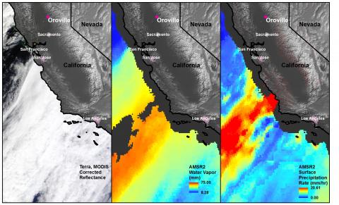
The Land, Atmosphere Near real-time Capability for Earth Observing Systems (EOS) (LANCE) distributes data to support users monitoring natural and man-made phenomenon by making data available within three hours of satellite observation. These near real-time data are critical for disaster planning, assessments, and decision making. The GHRC LANCE AMSR2 data observed the most recent atmospheric river as it moved towards Southern California on February 10, 2017. The image shown has 3 panels, Terra MODIS corrected reflectance imagery (left), the LANCE AMSR2 water vapor data (center) and the surface precipitation (right) observations available from the AMSR2 Rain and Ocean dataset. On the left, the MODIS imagery captures the linear band of convective cloud cover. Associated with this cloud cover is the narrow stream of higher water vapor concentrations shown in the AMSR2 water vapor image (middle). The AMSR2 surface precipitation data (right) identifies regions of high rain rates that coincide with the higher water vapor concentrations and cloud cover.
Near real-time data such as these LANCE AMSR2 Rain and Ocean data can provide emergency managers with important information during extreme weather events to help them decide how to respond.
For more information about NASA LANCE and other LANCE datasets at GHRC please access:
https://earthdata.nasa.gov/earth-observation-data/near-real-time
https://lance.nsstc.nasa.gov/
References:
AGU: http://blogs.agu.org/landslideblog/2017/02/14/oroville-dam-site/
CNN: http://www.cnn.com/2017/02/13/us/california-oroville-dam-spillway-failure/
NWS Sacramento Twitter: pic.twitter.com/LIn73Yyysz
U.S. Drought Monitor: https://www.drought.gov/drought/data-maps-tools/current-conditions
VOX: http://www.vox.com/science-and-health/2017/2/13/14598042/oroville-dam-flood-evacuation