GHRC News

GRIP graphic

GHRC DAAC staff have published a new version of the dropsonde dataset from the Genesis and Rapid Intensification Processes (GRIP) campaign in 2010. The GRIP DC-8 Dropsonde V3 dataset (DOI: https://dx.doi.org/10.5067/GRIP/DROPSONDE/DATA202) corrects a temperature dependent dry bias in the relative humidity measurements that was discovered in all dropsondes (RD94) and mini-dropsondes (NRD94) collected from 2010 to present. All files have had a correction applied to the RH measurements and dewpoint temperatures have been recomputed as well.

GHRC DAAC staff have published three additional datasets from the Global Precipitation Measurement (GPM) Ground Validation (GV) Integrated Precipitation and Hydrology Experiment (IPHEx), which took place April – June 2014, in the Southern Appalachians, spanning into the Piedmont and Coastal Plain regions of North Carolina:

GPM Ground Validation Citation Videos IPHEx (DOI: http://dx.doi.org/10.5067/GPMGV/IPHEX/CAMERA/DATA101) – Videos taken from the University of North Dakota Citation II aircraft.  Videos have been sped up 12.5 times the original speed and are broken into smaller files of about 3.5 minutes (45 minutes actual time) each.

GPM Ground Validation ER-2 X-band Radar (EXRAD) IPHEx (DOI: http://dx.doi.org/10.5067/GPMGV/IPHEX/CAMERA/DATA101) - EXRAD is a single-frequency X-band Doppler radar that flew on NASA’s ER-2 aircraft measuring reflectivity and Doppler velocity.

GPM Ground Validation NASA S-Band Dual Polarimetric (NPOL) Doppler Radar IPHEx (DOI: http://dx.doi.org/10.5067/GPMGV/IPHEX/NPOL/DATA101) - The NPOL Doppler Radar scanned in high-resolution Plan Position Indicator (PPI), Range-Height Indicator (RHI), and PPI Sector (PPS) scan modes and provided measurements of precipitation in liquid, mixed, and ice phases.
Per new NASA MSFC security requirements, all GHRC DAAC web sites have been transitioned from standard to secure hypertext transfer protocol (HTTP to HTTPS). The web sites, browse imagery and documentation remain freely available without user login. Data access via HTTPS requires users to log in via Earthdata.

GHRC DAAC staff have completed their evaluation of Phase 1 of the Cumulus Cloud Prototype for data ingest, archive, distribution and management. GHRC data and processes from the Hurricane and Severe Storm Sentinel (HS3) mission were successfully implemented as the first Cumulus use case. GHRC staff ran the data ingest/process/archive/publish workflows implemented and demonstrated by Cumulus developers, with minor variations in order to examine configurability and robustness of the prototype. While the tests were largely successful, they required considerable support from the development team to investigate and resolve issues encountered. The challenge for future phases of Cumulus will be to make the system more usable and configurable for DAAC staff.

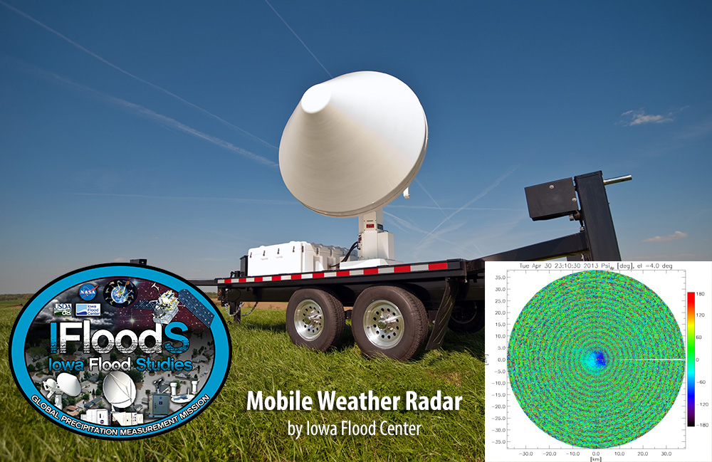
The Global Hydrology Resource Center Distributed Active Archive Center (GHRC DAAC) has published the GPM Ground Validation Iowa X-band Polarimetric Mobile Doppler Weather Radars IFloodS dataset (DOI: http://dx.doi.org//10.5067/GPMGV/IFLOODS/XPOL/DATA201). These data were gathered during the IFloodS campaign from April to June 2013 throughout central and northeastern Iowa. Four X-band Polarimetric (XPOL) Mobile Doppler Weather Radars were used to collected high-resolution observations of precipitation. The data consists of reflectivity, Doppler velocity, spectrum width, differential reflectivity differential phase, copolar correlation coefficient, and sound-to-noise ratios. These data are available in netCDF with PNG browse images.

Have you used our data? Register for updates