GHRC News

MC3E logo

GHRC has published the GPM Ground Validation Earth Networks Total Lightning Network (ENTLN) MC3E dataset. The Earth Networks Total Lightning Network (ENTLN) is an integrated in-cloud (IC) lightning and cloud-to-ground (CG) detection network deployed on a global basis capable of detecting long range in-cloud lightning at high efficiencies critical for the advanced prediction of severe weather phenomena. This dataset consists of a subset of data for the period of the Midlatitude Continental Convective Clouds Experiment (MC3E), 1 April 2011 - 15 June 2011.


The Research Knowledge Generation Lifecycle diagram published in the December 2013 edition of IEEE Geoscience and Remote Sensing Magazine
Cover - IEEE Geoscience and Remote Sensing Magazine | December 2013

"Earth Science Informatics Comes of Age", by Siri Jodha S. Khalsa of NSIDC and GHRC DAAC Manager Rahul Ramachandran of NASA/MSFC was published in the December 2013 edition of IEEE Geoscience and Remote Sensing Magazine.
Dr. Ramachandran has also submitted three abstracts to the IGARSS 2014 conference in Quebec as lead or co-author, and is co-author on two submissions to the EGU General Assembly 2014 in Vienna, Austria. In addition, he is lead author on a paper titled "Collaborative WorkBench for researchers - Work smarter, not harder" submitted to Earthzine, an IEEE online magazine. Co-authors include GHRC associate Manil Maskey of UAH, as well as Kwo-Sen Kuo and Chris Lynnes of GES DISC.

GCPEx

GHRC published the GPM Ground Validation McGill W-Band Radar GCPEx dataset collected at Environment Canada’s Centre for Atmospheric Research Experiments (CARE) in Ontario, Canada, as part of the GPM Cold-season Precipitation Experiment from February 1, 2012 to February 29, 2012. The W-Band radar is a single antenna, 94-GHz pulsed Doppler, vertical pointing radar system. Data products from the W-Band radar include radar reflectivity, Doppler moments, and Doppler spectra of variable lengths. The W-Band radar is primarily used to research cloud properties. The GPM Ground Validation McGill W-Band Radar GCPEx dataset is available in netCDF format.


GOES satellite

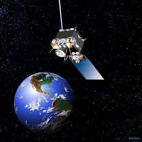
GHRC published two GOES Imagery datasets: GPM Ground Validation GOES 13 Visible and Infrared Images MC3E and GPM Ground Validation GOES 13 Visible and Infrared Images GCPEx. These GOES datasets include IR3, IR4, and visiblity imagery files collected at 15 minute intervals in near real-time during the mission and were used by the Real Time Mission Monitor (RTMM). The Midlatitude Continental Convective Clouds Experiment (MC3E) took place in central Oklahoma and has files available for dates between May 6, 2011 and June 30, 2011. The GPM Cold-Season Precipitation Experiment (GCPEx) occurred in Ontario, Canada, and has files available for dates between January 1, 2012 and March 13, 2012.


ESIP

GHRC was represented at the ESIP Federation Assembly in Washington, DC by Dr. Sara Graves, Helen Conover, Ken Keiser and Manil Maskey, all of the University of Alabama in Huntsville's Information Technology and Systems Center. GHRC is a collaboration between NASA MSFC and UAH ITSC. The group presented posters on GHRC's work with GPM Ground Validation field campaigns, as well as related research in cloud-enabled collaboration environments, innovations disaster planning and response, and data albums for aggregation and presentation of event information. Dr. Graves assisted in organizing sessions on real time data and disaster response. GHRC personnel participated in sessions on cloud computing, provenance, semantics, sustainability, project evaluation, and data science and analytics. Dr. Graves also participated in the Data Infrastructure Study Workshop organized by ESIP participants preceding the meeting.

Have you used our data? Register for updates