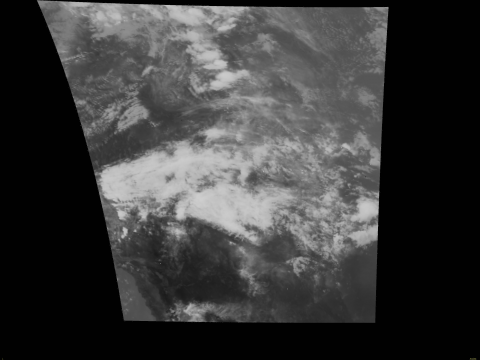
 The NASA Global Hydrology Resource Center (GHRC) DAAC published the GPM Ground Validation GOES 14 Visible and Infrared Images IPHEx dataset (http://dx.doi.org/10.5067/GPMGV/IPHEX/GOES14/DATA101).
This dataset contains visible and infrared images from the GOES 14 Imager collected during the Integrated Precipitation and Hydrology Experiment (IPHEx) field campaign in the southeast region of the United States. The GPM Ground Validation GOES 14 IPHEx dataset files are available in PNG format at 1 minute intervals, for all dates between May 8, 2014 and May 24, 2014.
 A GHRC Bi-Annual Newsletter for the time period of September - April is now available. Highlights include a NASA Webinar presentation, new micro articles and data recipes that have been released, data publication metrics, and more!
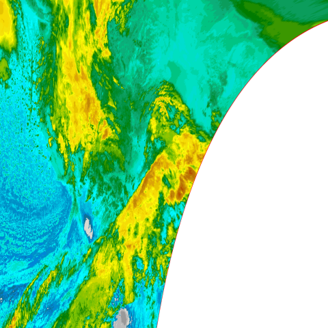 The NASA Global Hydrology Resource Center (GHRC) DAAC published the GPM Ground Validation GOES 15 Visible and Infrared Images OLYMPEX dataset (
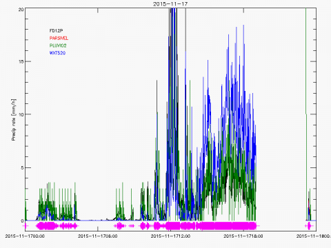 The NASA Global Hydrology Resource Center (GHRC) DAAC published the GPM Ground Validation Albert Head (AHD) Ground Meteorological Station (MET) OLYMPEX (
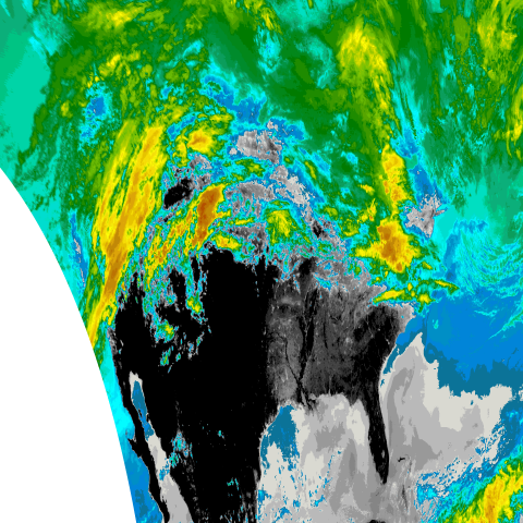 The NASA Global Hydrology Resource Center (GHRC) DAAC published the GPM Ground Validation GOES 13 Visible and Infrared Images IPHEx dataset (